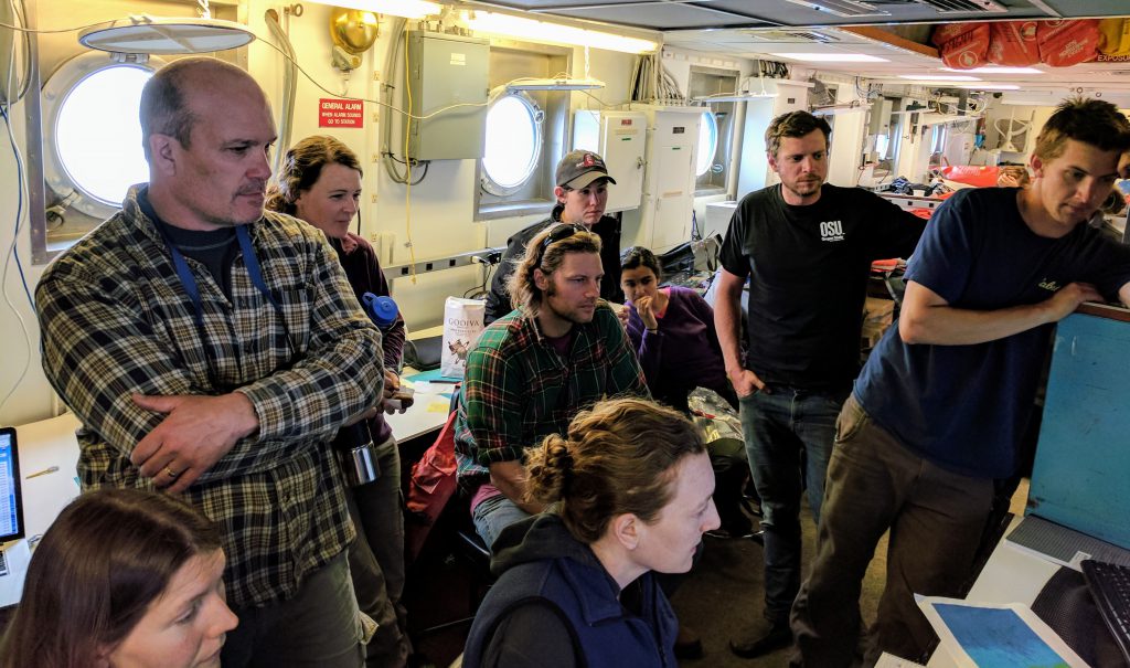
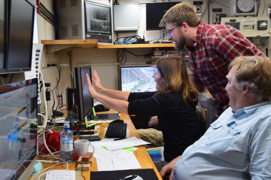
After months (years?) of planning, discussion, and rescheduling, we are now one week away from setting sail on the RV Oceanus from Newport, OR to study sedimentary deposits on the Oregon and Washington continental slope. We have a great team working with us, both from the ship and shore. You can learn a little about them on our expedition web page.
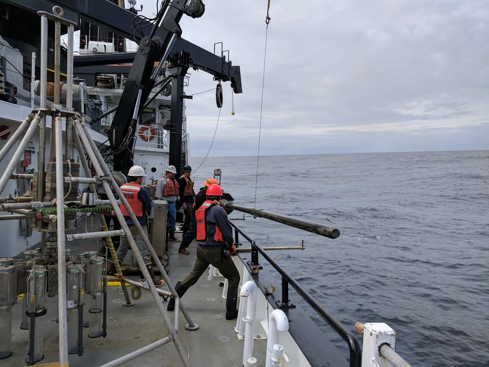
My first involvement in this initiative was sailing as a graduate student on Maureen Walczak‘s RV Oceanus cruise, OC1706B, in June 2017. Like the upcoming expedition, this cruise was supported by the State of Oregon’s “Oceangoing Research Vessel Program.” We had a lot of fun and recovered incredibly beautiful sediment cores–the kind of mud anyone would get excited about.
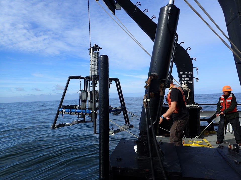
Some of the sediment cores we recovered contained high resolution records of Pacific Northwest environment and Northeast Pacific oceanography that extended back to the last ice age, about 20 thousand years ago. Naturally, we started to wonder how much further back in time these sediment deposits could take us.
In Fall of 2017, Mo Walczak and I had the opportunity to look more closely at these deposits with a Multi Channel Seismic survey on RV Revelle during the UNOLS Early Career Chief Scientist Training cruise RR1718, organized by Masako Tominaga, Anne Trehu, and Mitch Lyle. This let us image 100s of meters below the seafloor–which revealed that some of our sites likely have records that extend back millions of years!
Using the observations from our sediment cores and our Multi Channel Seismic surveys, we started to dream big. Maybe we could come back with the International Ocean Discovery Program‘s scientific drilling ship, the JOIDES Resolution, and recover long, high-resolution, and continuous records of Pacific Northwest climate and Northeast Pacific oceanography that extend back millions of years? In Fall 2018, we participated in the Scientific Exploration of the Arctic and North Pacific (SEA-NorP) workshop and in 2019, we submitted pre-proposal 963 to the International Ocean Discovery Program with our expedition idea.
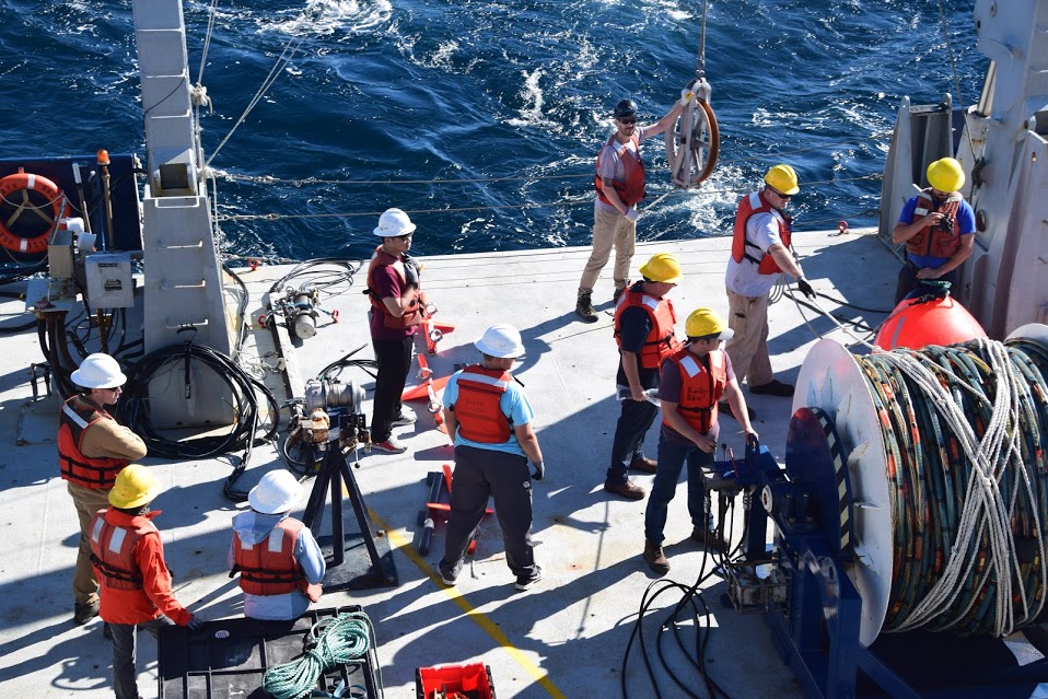
Now, we are setting sail again to collect more sediment cores from locations that we have previously surveyed (but don’t have any sediment cores) and from locations that are new to us. Our hope is that with everything we have learned about the Cascadia Margin, we will refine our site selection and identify the best possible locations for interdisciplinary study of the climate, ice-sheet, oceanographic, geomagnetic, and tectonic history of the Pacific Northwest. We have a team working with us that will help us address questions we still need answered, from the sedimentary processes that control the formation of these deposits to carbon cycling in the sediments.
Stay tuned and follow along with the Cascadia H.O.P.S. expedition using the information we provide on our website. And feel free to reach out to me if you want to learn more or get involved!